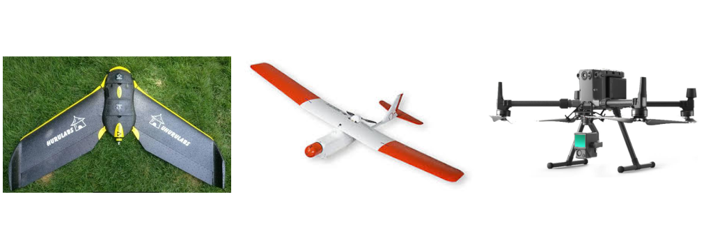
Largest drone fleet in East Africa with all permitting in place, allowing us to deploy at very short notice.
We Offer a Wide Range of UAV Services
Every few years, the geospatial industry undergoes a revolution. First, it was total stations, then came GPS, laser scanners, and robotics. Now, professionals are adding another tool, mapping drones, which drastically reduces data collection times, improves positional accuracy, and provides a safer operator experience.